-40%
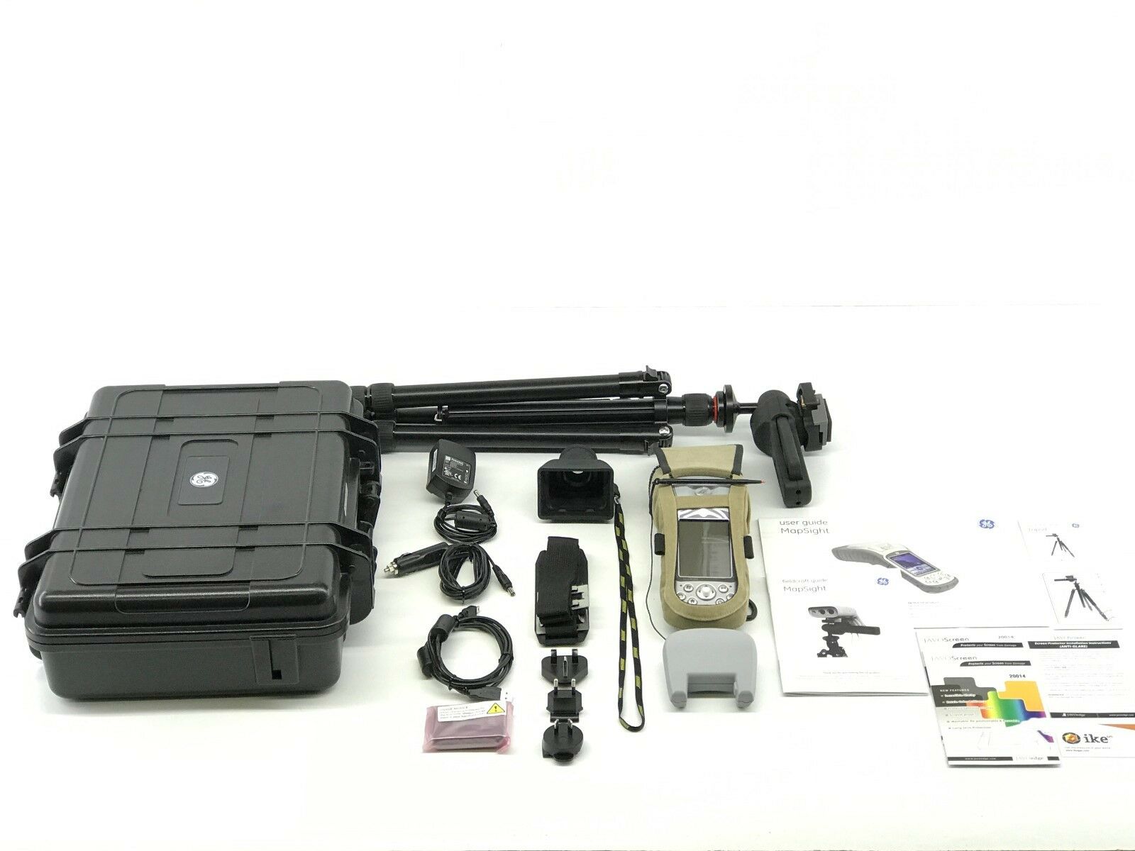
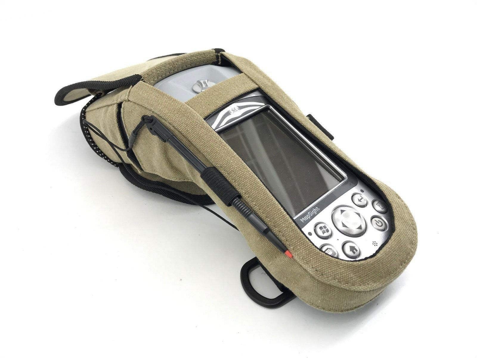
GE Mapsight 5 Handheld Utility Data Device w/All Accessories
$ 1003.2
- Description
- Size Guide
Description
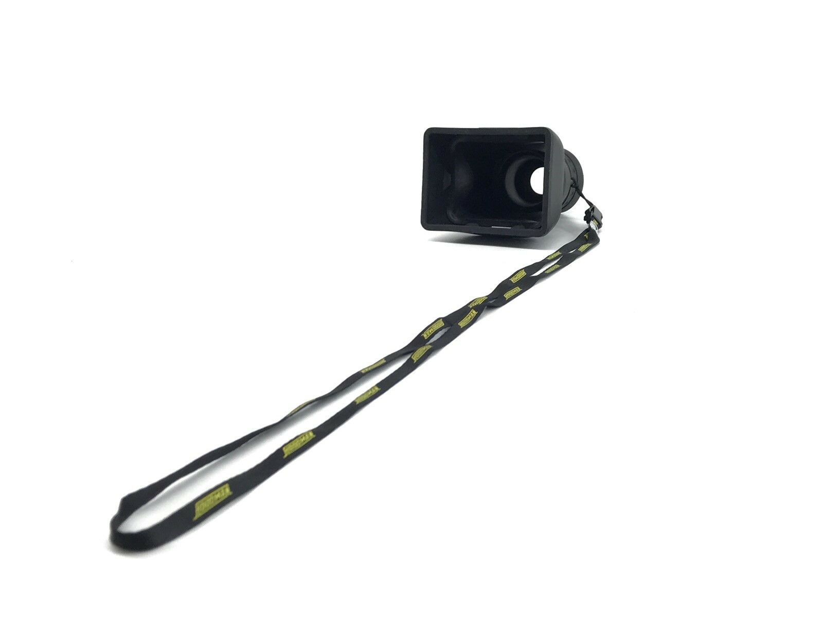
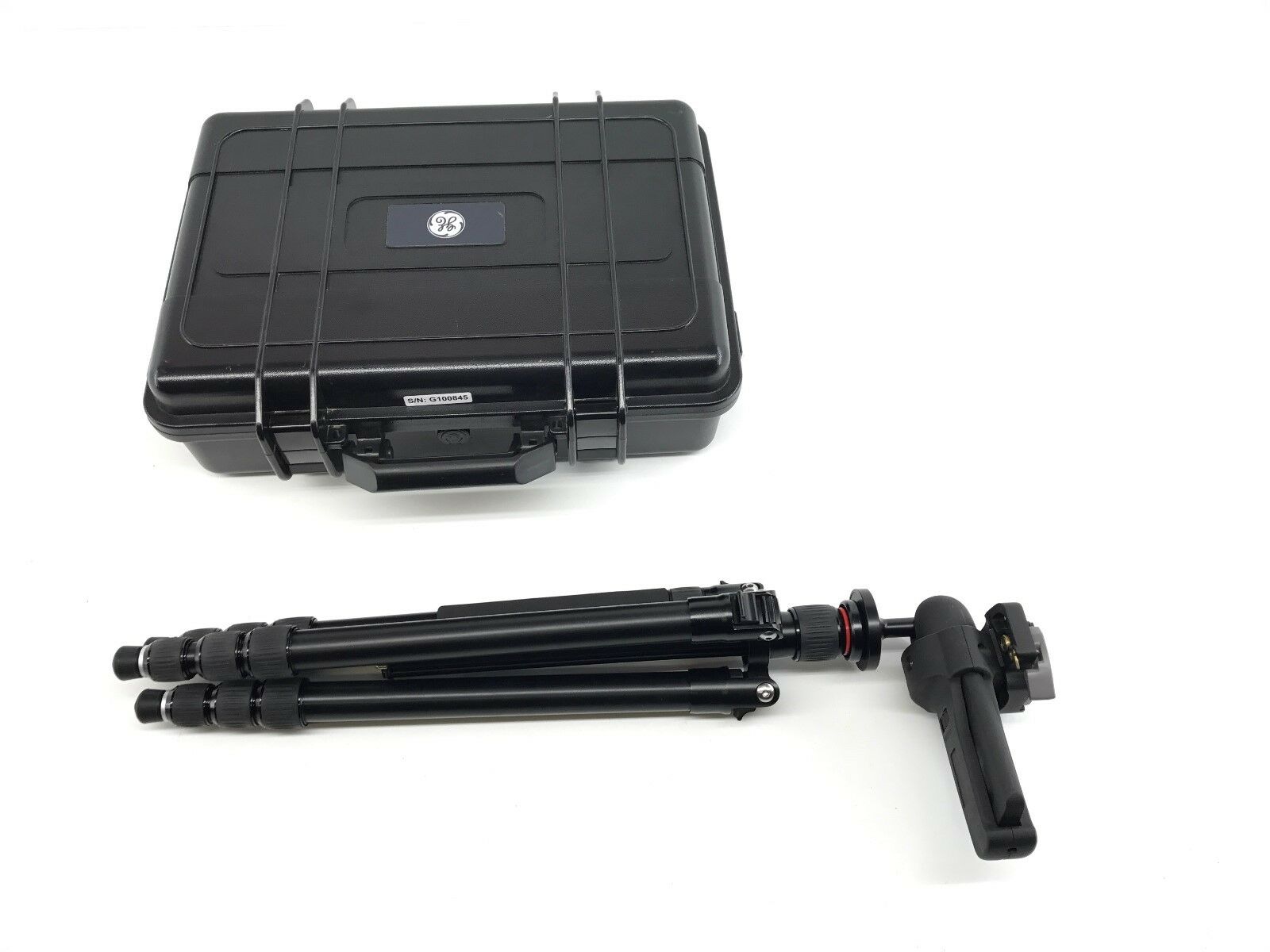
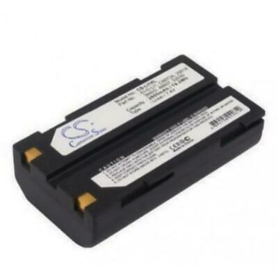
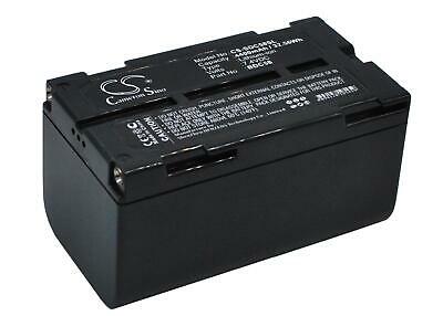
MapSight with all the accessories including the tripod stand. You get all the accessories shown in the photos.GE MapSight: Measure, Map & Model
MapSight is a location-based measuring device that will greatly increase your productivity when undertaking pole surveys and related measurements.
Verifiable.
MapSight provides geo-tagged photo verification of all field work. Every measurement is embedded directly into the MapSight photograph. Providing time stamped visual evidence establishes location and proof of attachment status.
Accuracy.
The attachment heights are accurate to within ±1”. Additionally, from a safe location, your MapSight laser measures the GPS location of your poles to within ±3 feet.
Standardization.
The software is designed to easily create customized forms that ensure consistency in data collection. The data can also be generated in a variety of industry standard formats, including Google Earth, which can then be imported into back-office software.
Efficiency.
Our unique all-in-one device combines laser rangefinder, digital camera and compass, along with GPS and a mobile computer. You carry less equipment in the field.
Productivity.
Field data collection time is greatly improved using MapSight. Users are able to collect and process utility pole data and measurements faster than conventional methods.
Safety and Access.
Enables users to stand in a safe location to capture pole and overhead line measurements. MapSight also enables you to take measurements in hard to access areas. No more standing in the middle of a street or letting a fence block your access to the pole.
GE Digital Energy business is branding ikeGPS’ field measurement product as MapSight. The product integrates laser, camera and GPS technologies, enabling utilities to quickly and accurately collect measurement and location data on any of their joint-use utility poles or field assets, ikeGPS said in a statement announcing the partnership.
The MapSight solution addresses many complexities of field data collection, the company said. It dramatically reduces the time required and cost incurred to collect joint-use pole data such as wire heights, widths, clearances, attachment points, diameters and span heights. The MapSight solution — which provides front-end remote measurement and data collection for utility assets — works seamlessly with GE’s SmallWorld Electric Office to provide an end-to-end data collection solution for utility workers. Once collected, the MapSight device can feed data directly into GE’s FieldSmart mobile applications and SmallWorld technology suite. Using the device, utility workers can greatly improve field data collection efficiency, typically reducing the time required to collect utility asset data by more than 50 percent, ikeGPS said.
The MapSight handheld.
“ikeGPS is proud to announce that our solutions to the electric utilities segment have been integrated with GE’s software and branded as MapSight,” said Glenn Milnes, CEO, ikeGPS. “This agreement further validates the one-of-a-kind measurement capabilities that our solution offers GE and its utility customers.”
MapSight enables field utility workers to remotely capture the location of their utility assets and every necessary measurement from a single photograph. This ability enables utility workers to measure the height of a span, the height of an object when the base is not visible and the distance between any two poles or points in the field and in real time. The geo-located photo provided by MapSight allows for further measurements to also be performed in the field. Another advantage of MapSight is that the unit provides field workers with consistent data, taking the guesswork out of measuring utility poles and assets. With the unit’s ability to geo-locate and time stamp photos, utility workers can easily verify when and where a measurement was made.
“Together, GE and ikeGPS have created an end-to-end solution set for field utility data collection and analyzation,” said Bryan Friehauf, product line leader–software solutions, GE’s Digital Energy business. “Previously, data had to be collected manually using analog tools such as hot sticks, measuring wheels and a pen and paper. Our MapSight device streamlines the data collection and analyzation processes for field utility workers by enabling the collection of joint-use utility pole data quickly, digitally and remotely on a single, easy-to-use platform.
Please Read The Following Disclaimer:
We stand behind our product, therefore we offer to either replace any non working or broken product or offer a full refund minus the restocking fee.
Return policy applies ONLY if the product does not function. Money will be credited back after product is shipped back and is inspected for defect. A 15% restocking fee will be deducted from the payment.
Buyer pays shipping cost for all returns. A 15% restocking fee applies to all sales.
For more information please contact us through eBay and we'll reply to you ASAP.
